Tocht Stappen Les Pieux - Entre terre et mer - Les Pieux - Photo

Entre terre et mer - Les Pieux

 tracegps
tracegps

Gebruiker

© OpenStreetMap contributors
Lengte
Lengte
23 km
Max. hoogte
Max. hoogte
125 m
Positief hoogteverschil
375 m
Km-Effort
Km-Effort  
28 km
Min. hoogte
Min. hoogte
5 m
Negatief hoogteverschil
377 m
Boucle
Boucle
Ja
Datum van aanmaak :
2014-12-10 00:00:00.0
Laatste wijziging :
2014-12-10 00:00:00.0

(2 Bericht)

Stappen
Stappen
6h00
Moeilijkheid : Medium

Scan deze QR-code om de tocht te openen in de SityTrail-applicatie

Gratisgps-wandelapplicatie

Logo SityTrail SityTrail

IGN / Geografische instituten

SityTrail uit de App Store downloaden SityTrail uit Google Play downloaden

Logo SityTrail SityTrail World

De wereld gaat voor u open

SityTrail uit de App Store downloaden SityTrail uit Google Play downloaden SityTrail op Huawei AppGallery downloaden

Over ons

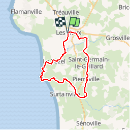
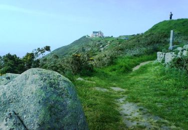
Tocht Stappen van 23 km beschikbaar op Normandië, Manche, Les Pieux. Deze tocht wordt voorgesteld door tracegps.

Beschrijving

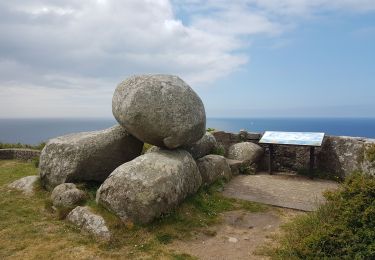
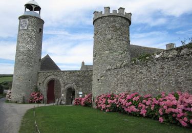
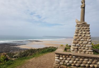
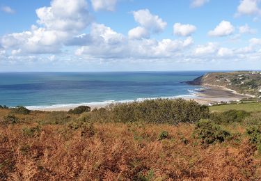
Départ de la mairie de les Pieux. Circuit très sympa, mais attention en hiver, le terrain est très très gras ou bon entraînement pour les traileurs avertis . Retrouvez le circuit sur le site de l'Office de Tourisme de La Hague.

Hoogteprofiel

Foto's

Plaatsbepaling

Land:
France
Regio :
Normandië
Departement/Provincie :
Manche
Gemeente :
Les Pieux
Locatie:
Unknown
Vertrek:(Dec)
Vertrek:(UTM)
586222 ; 5485148 (30U) N.

Opmerkingen

Gelieve in te loggen om een commentaar of een beoordeling achter te laten


Wandeltochten in de omgeving

Tocht Mountainbike Benoîtville - De Benoîtville à Saint Christophe du Foc - Circuit n° 12 - Photo
Mountainbike
tracegps

Mountainbike

Medium
(1)
Benoîtville, Normandië, Manche, France
21 km | 24 km-effort
1h 45min
Ja
Tocht Stappen Flamanville - Flamanville - Photo
Stappen
PatRando

Stappen

Medium
Flamanville, Normandië, Manche, France
9,6 km | 12 km-effort
1h 58min
Ja
Tocht Stappen Flamanville - Tour du cap de Flamanville - Photo
Stappen
ged94

Stappen

Moeilijk
Flamanville, Normandië, Manche, France
11,5 km | 14,6 km-effort
4h 0min
Ja
Tocht Mountainbike Flamanville - Rando des Caps 2013 - 65 km - Flamanville - Photo
Mountainbike
tracegps

Mountainbike

Moeilijk
Flamanville, Normandië, Manche, France
60 km | 73 km-effort
3h 30min
Ja
Tocht Mountainbike Flamanville - Rando des Caps 2013 - Flamanville - Photo
Mountainbike
tracegps

Mountainbike

Moeilijk
Flamanville, Normandië, Manche, France
41 km | 48 km-effort
2h 45min
Ja
Tocht Lopen Les Pieux - Entre terre et mer - Les Pieux - Photo
Lopen
tracegps

Lopen

Moeilijk
Les Pieux, Normandië, Manche, France
23 km | 28 km-effort
3h 0min
Ja
Tocht Stappen Le Rozel - Le Rozel - Cap de Rozel - Photo
Stappen
ged94

Stappen

Medium
Le Rozel, Normandië, Manche, France
7,9 km | 9,3 km-effort
2h 47min
Ja
Tocht Stappen Les Pieux - Les Pieux,  Le Rozel, Flamanville  - Photo
Stappen
PascalN

Stappen

Medium
Les Pieux, Normandië, Manche, France
21 km | 26 km-effort
4h 5min
Ja
Tocht Mountainbike Tréauville - Balade hivernale canton des Pieux - Diélette - Photo
Mountainbike
tracegps

Mountainbike

Medium
Tréauville, Normandië, Manche, France
25 km | 30 km-effort
1h 45min
Ja


Sluiten
Mijn abonnementen